
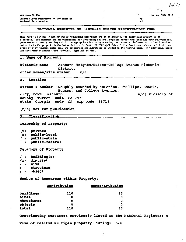
Ashburn Heights/Hudson-College Avenue Historic District - National Registration of Historical Places Application + Photos - #92001411


Dublin Core
Title
Ashburn Heights/Hudson-College Avenue Historic District - National Registration of Historical Places Application + Photos - #92001411
Description
Ashburn Heights/Hudson-College Avenue Historic District - Roughly bounded by McLendon, Phillips, Monnie, Hudson, and College Avenues of Ashburn, GA 31714
Application - 19
Photos - 28
Description of Photograph(s):
1 of 28: McLendon Street, house designed by Peter E. Dennis; photographer facing northwest
2 of 28: McLendon St. at Church Avenue; photographer facing north.
3 of 28: Mclendon St. at Hudson Avenue; photographer facing northwest
4 of 28: McLendon St. at James Avenue; photographer facing northwest
5 of 28: James Avenue between McLendon and Grand Streets; photographer facing northeast
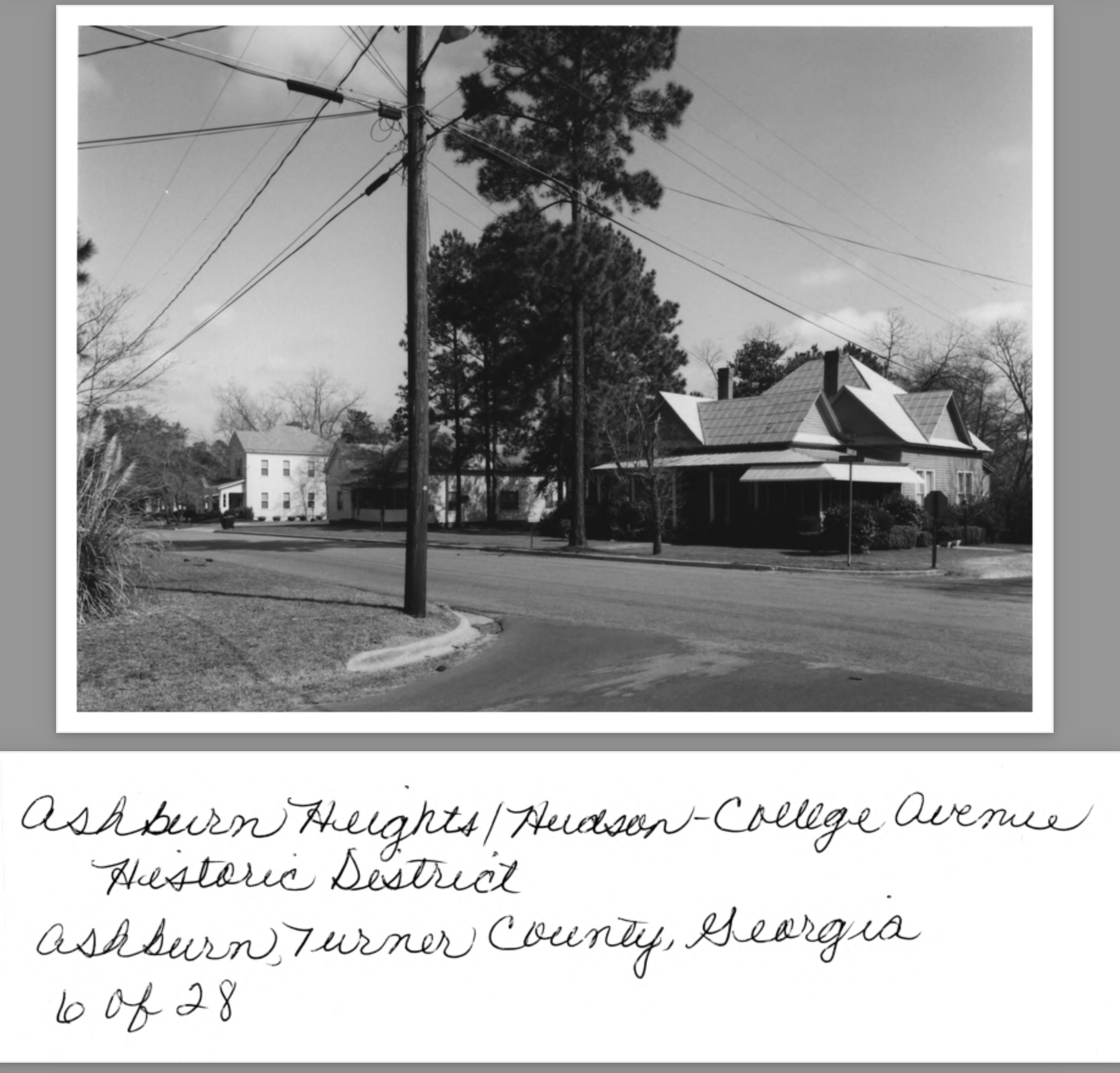
6 of 28: Grand Street at James Ave; photographer facing northeast
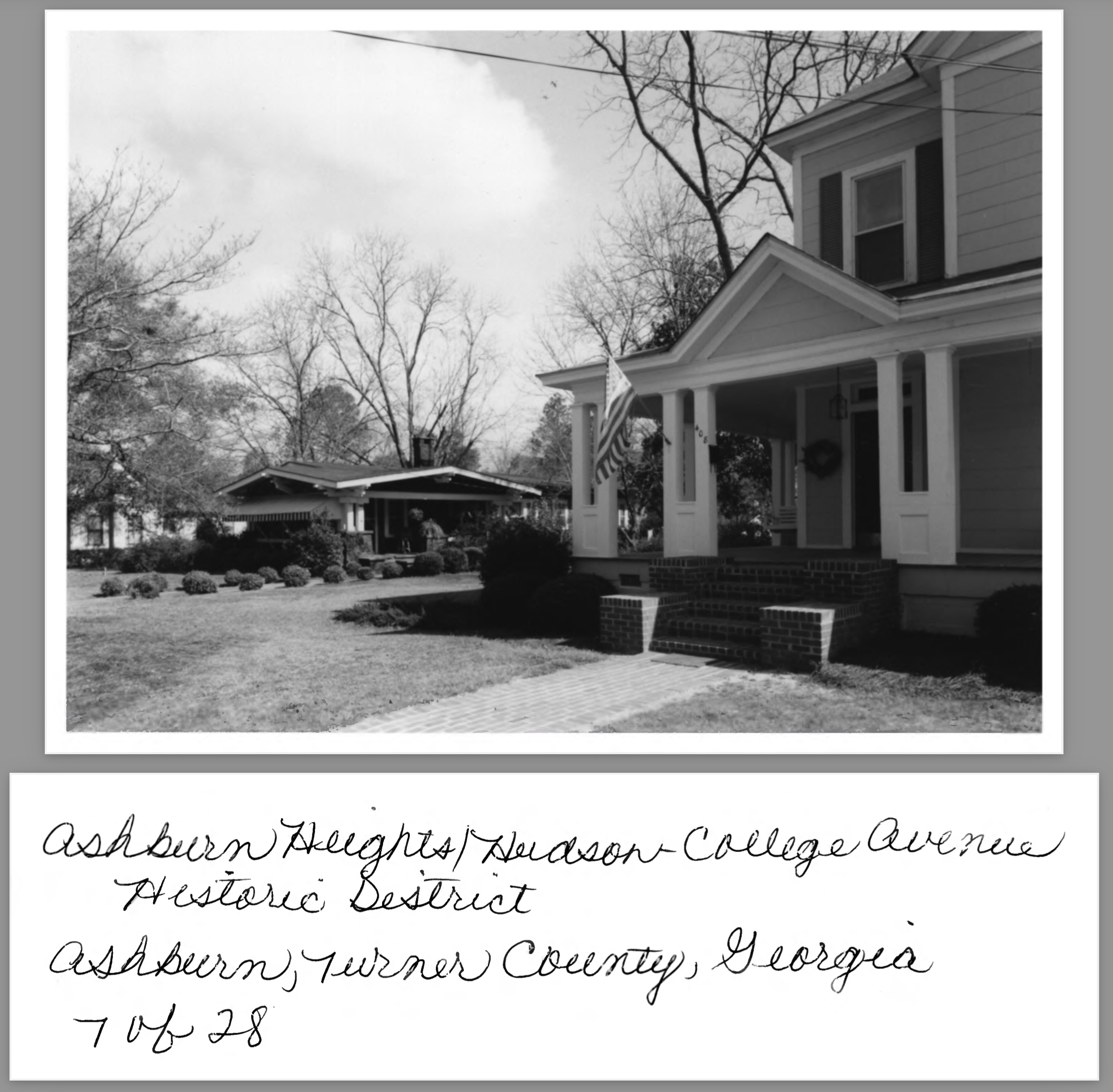
7 of 28: Grand Street between Fendig and James Avenues; photographer facing northeast
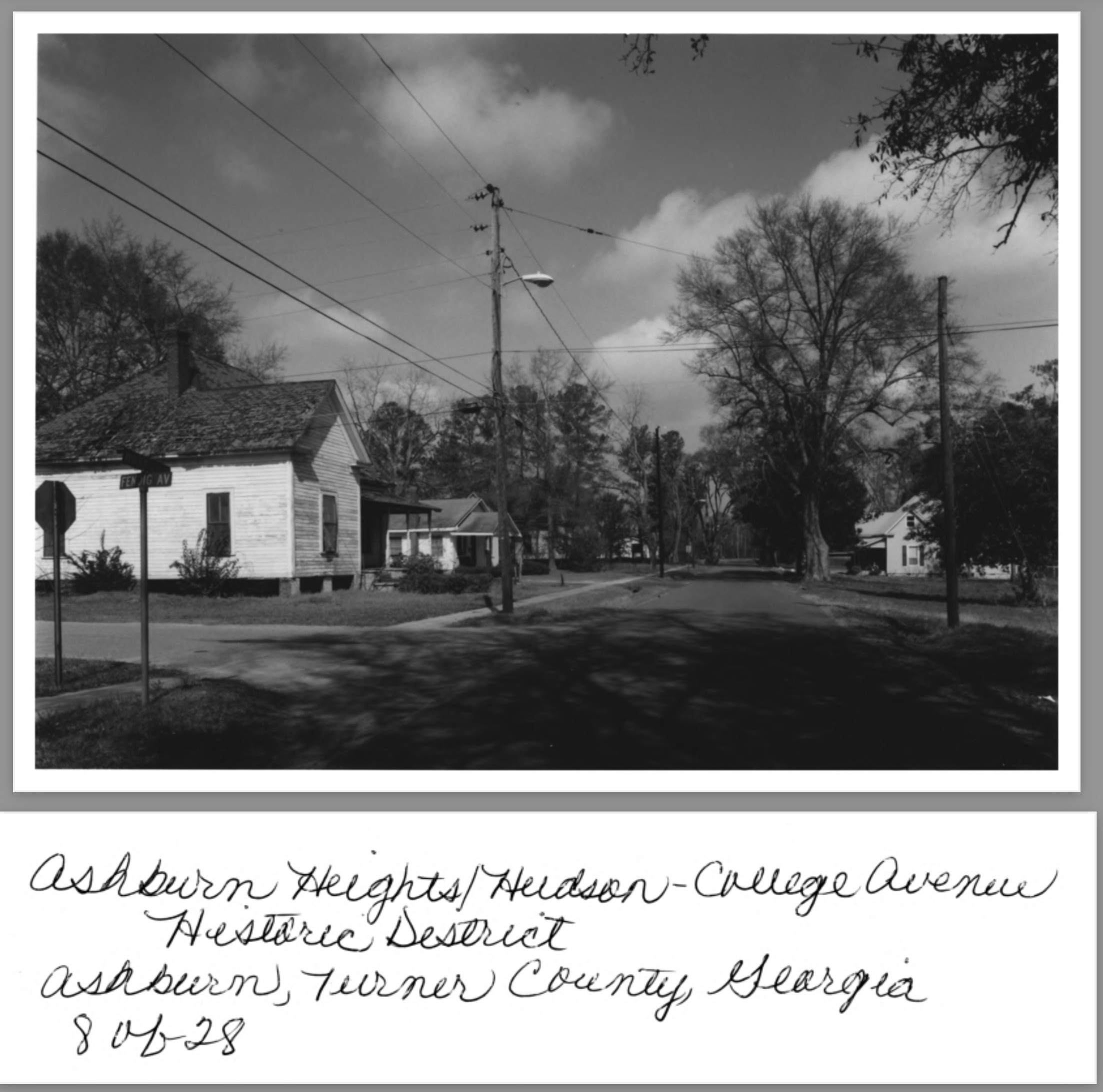
8 of 28: Monnie Street at Fendig Avenue; photographer facing north
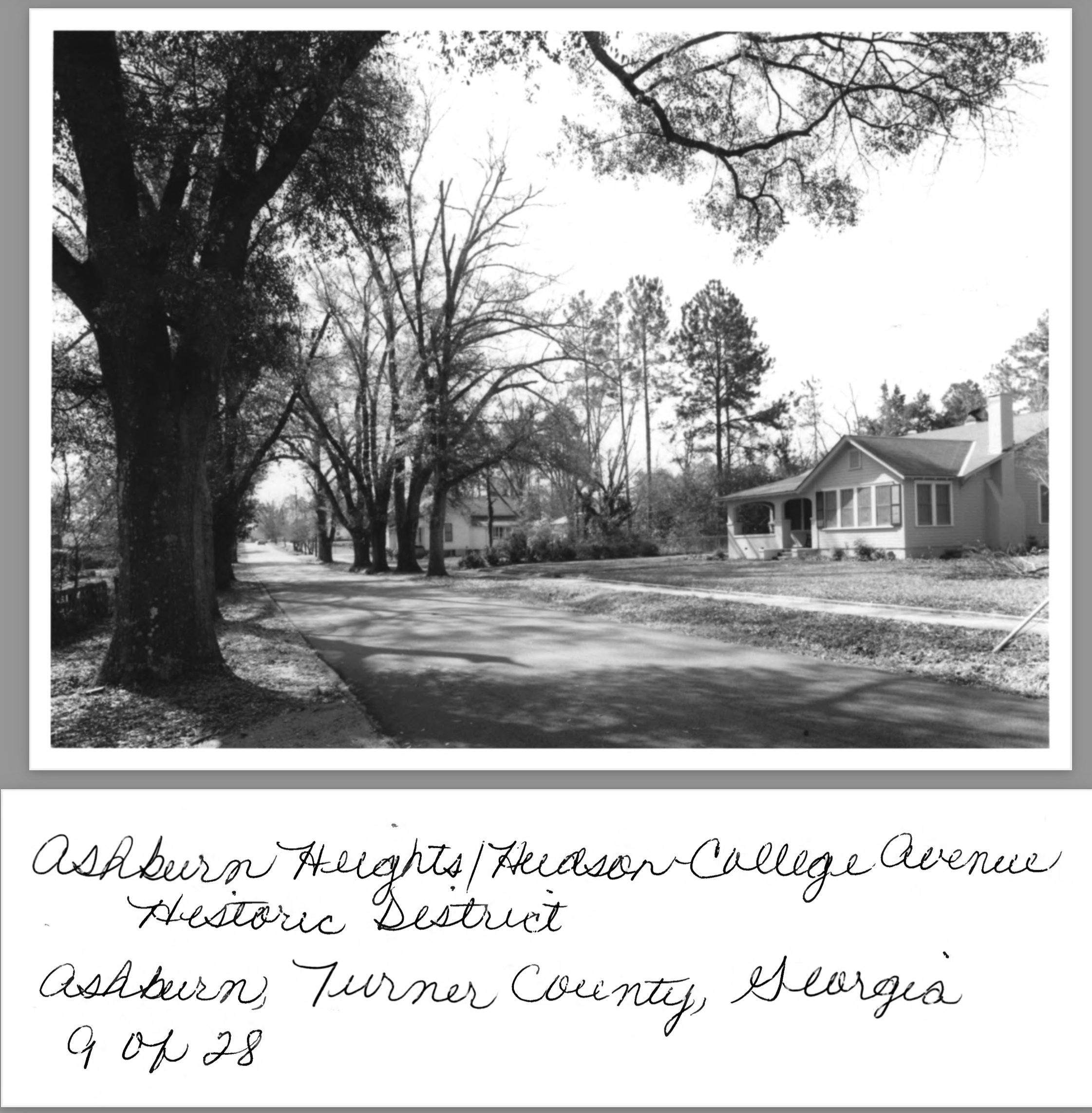
9 of 28: Monnie Street between Fendig and James Avenues; photographer facing southwest
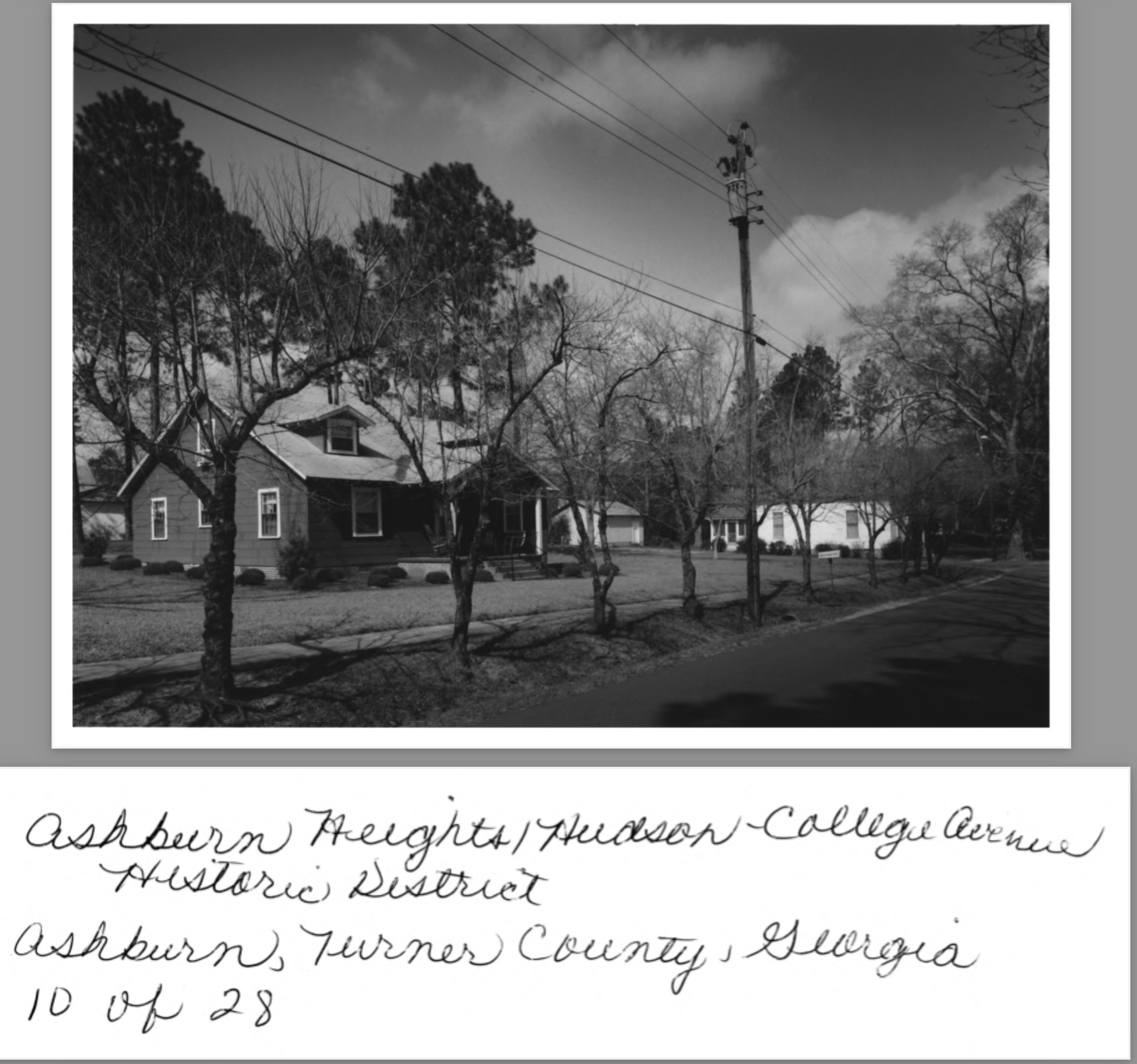
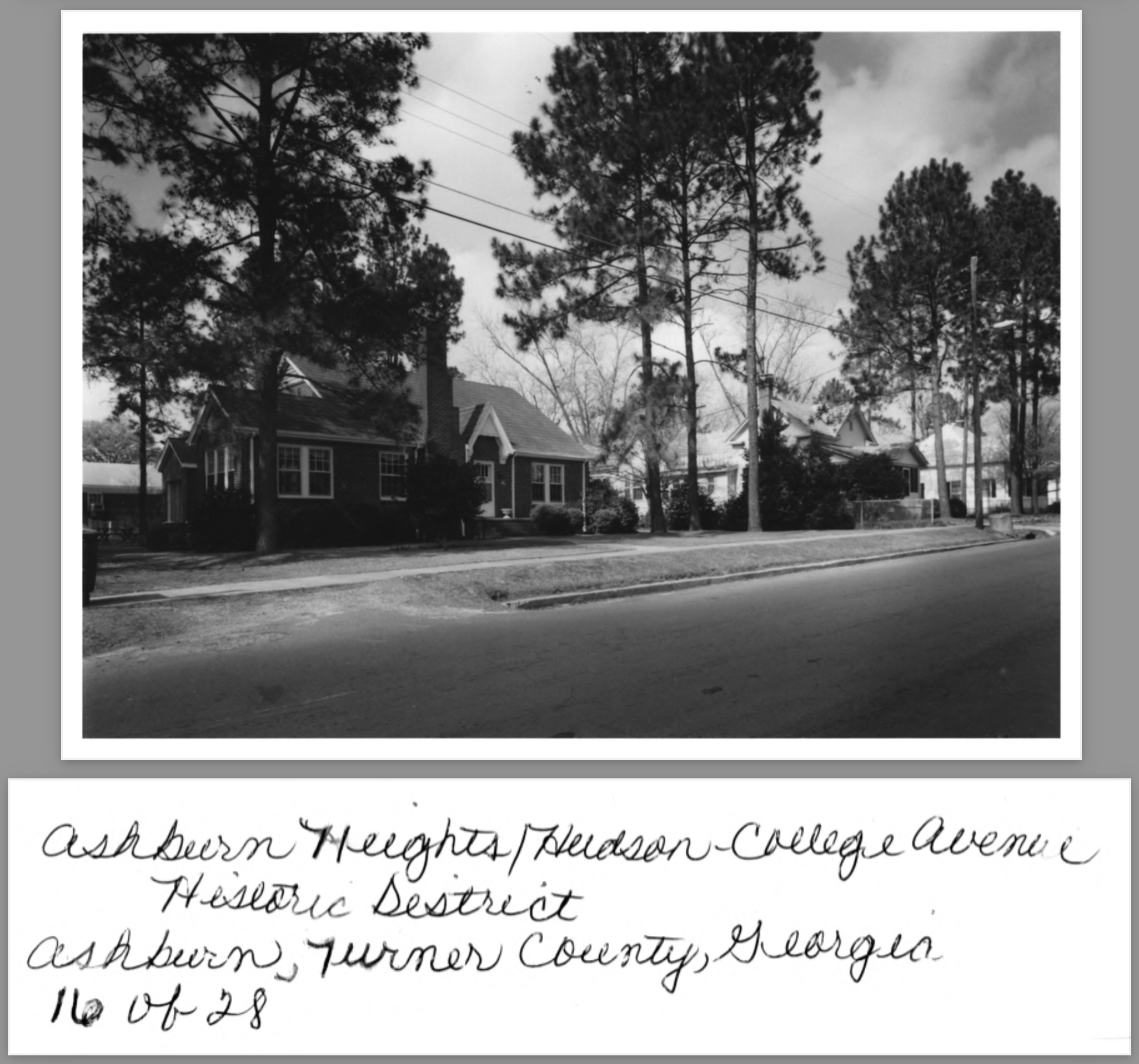
10 of 28: Monnie Street at James Avenue; photographer facing northwest
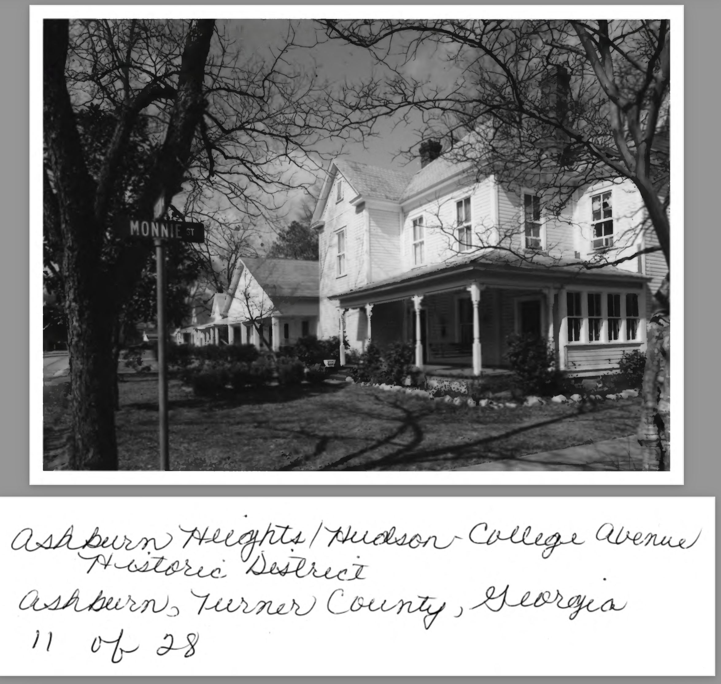
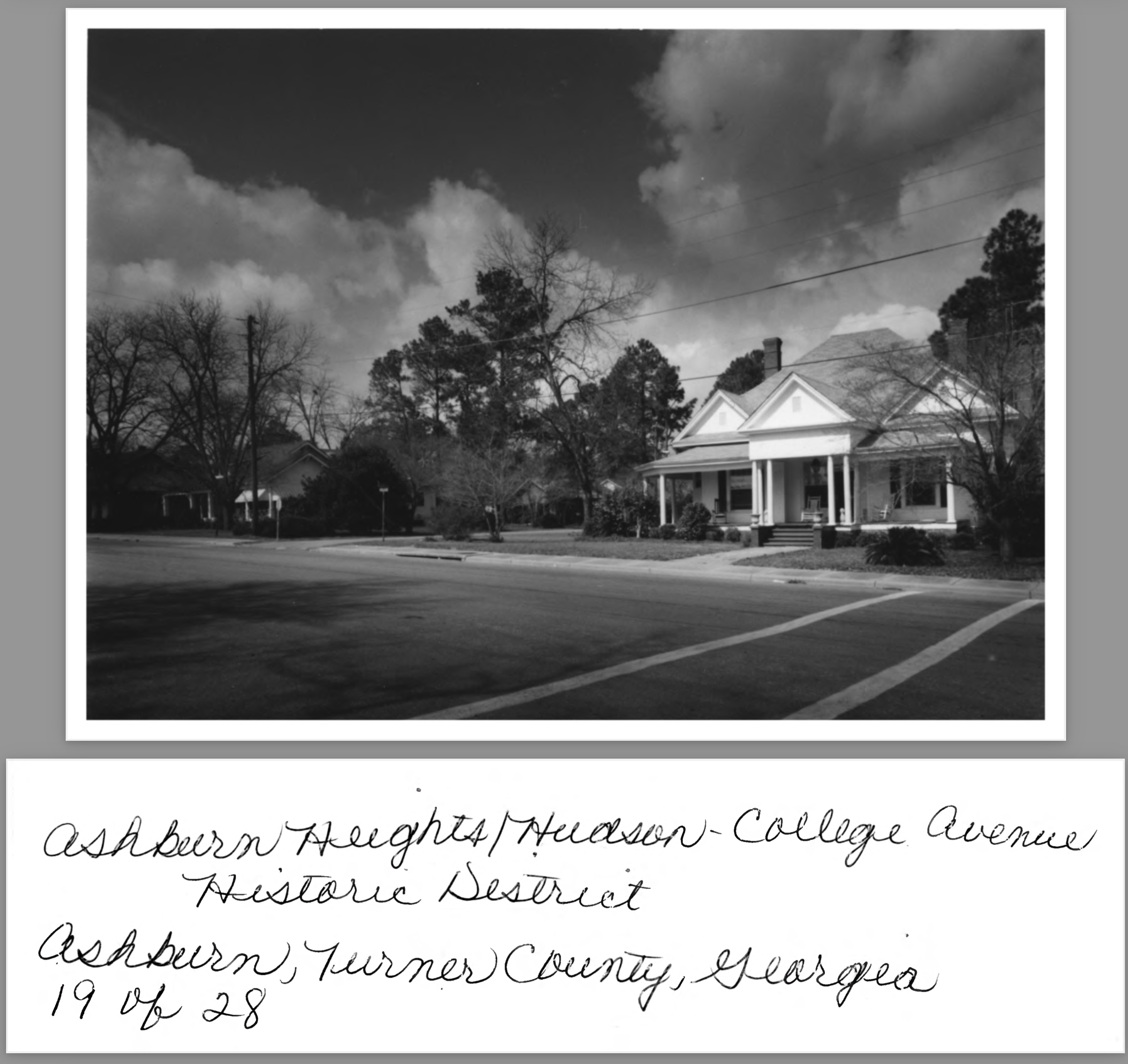
11 of 28: Hudson Avenue at Monnie Street; photographer facing northwest.
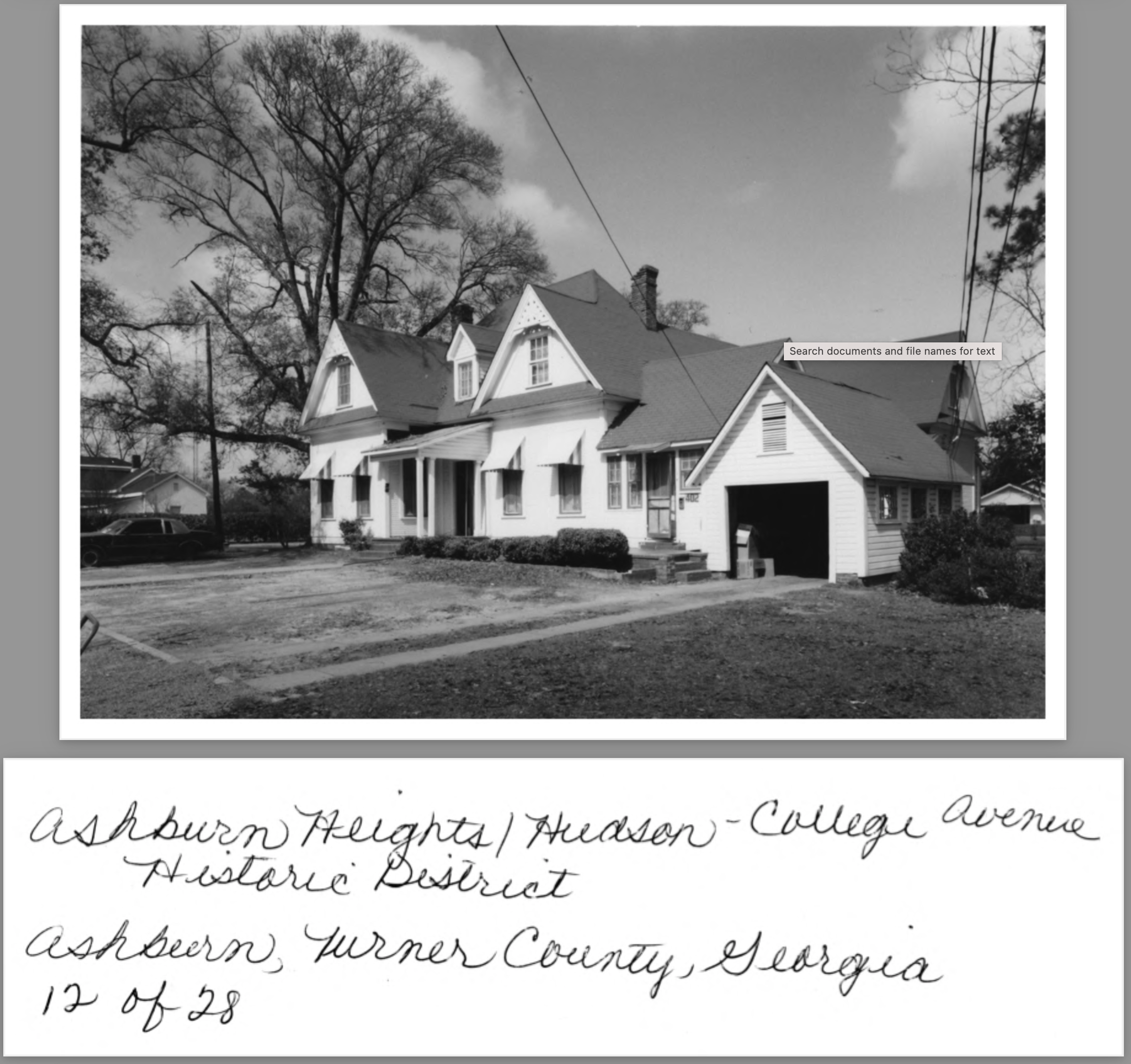
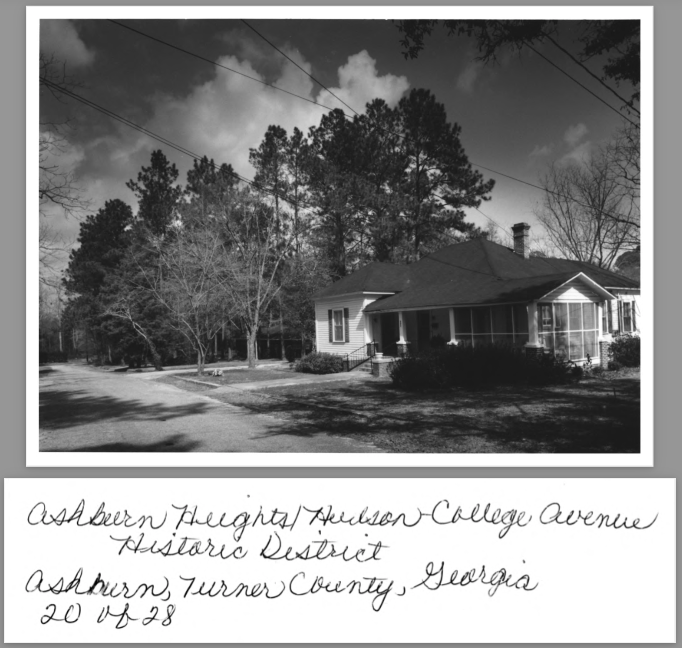
12 of 28: Hudson Avenue at Grand Street; photographer facing northwest
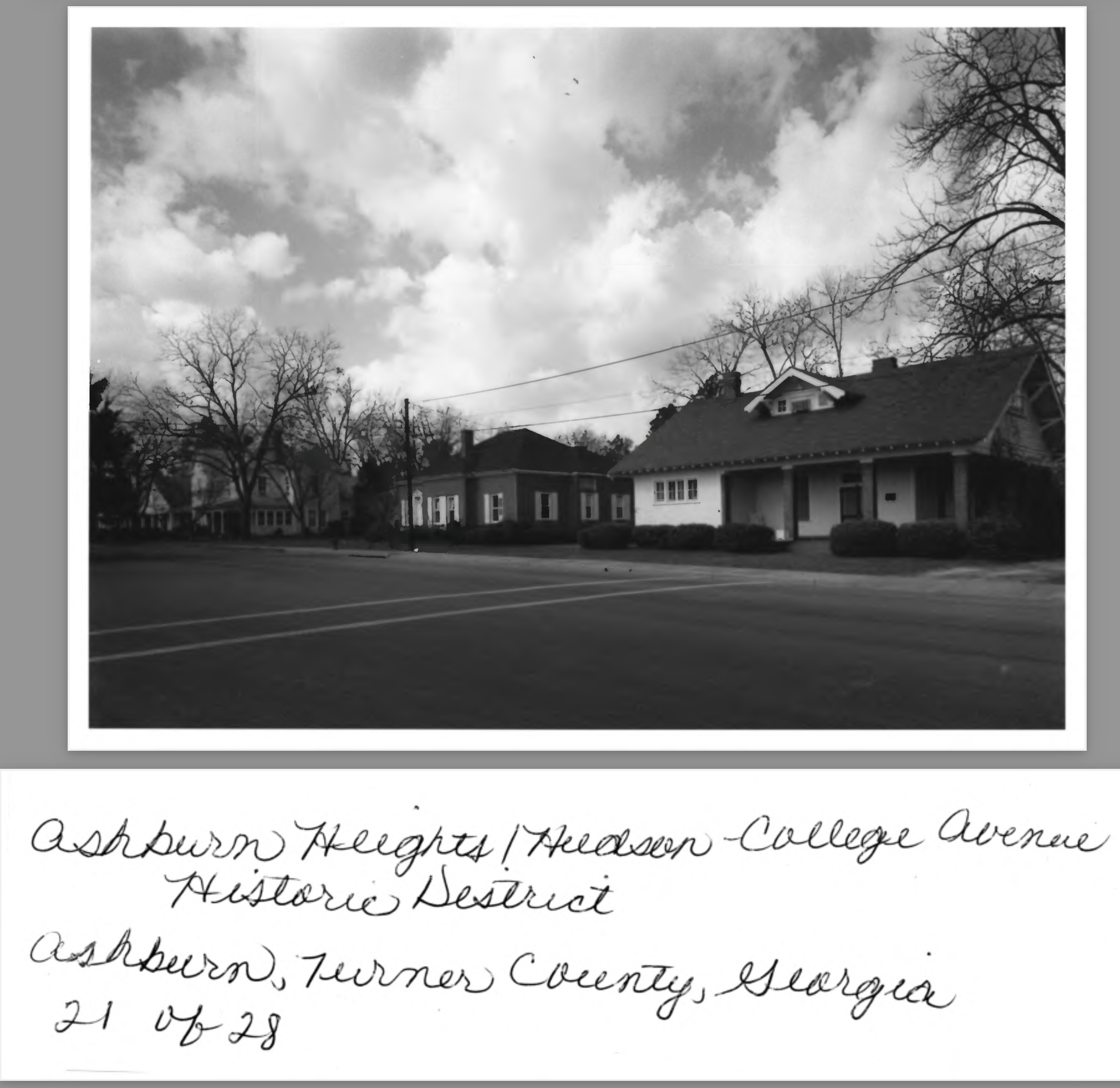
13 of 28: Grand Street between James and Hudson Avenues; photographer facing northeast.
14 of 28: Raney Street at Hudson Avenue; photographer facing north
15 of 28: Raney Street between Hudson and College Avenue; photographer facing northwest
16 of 28: Raney Street at College Avenue; ; photographer facing northwest
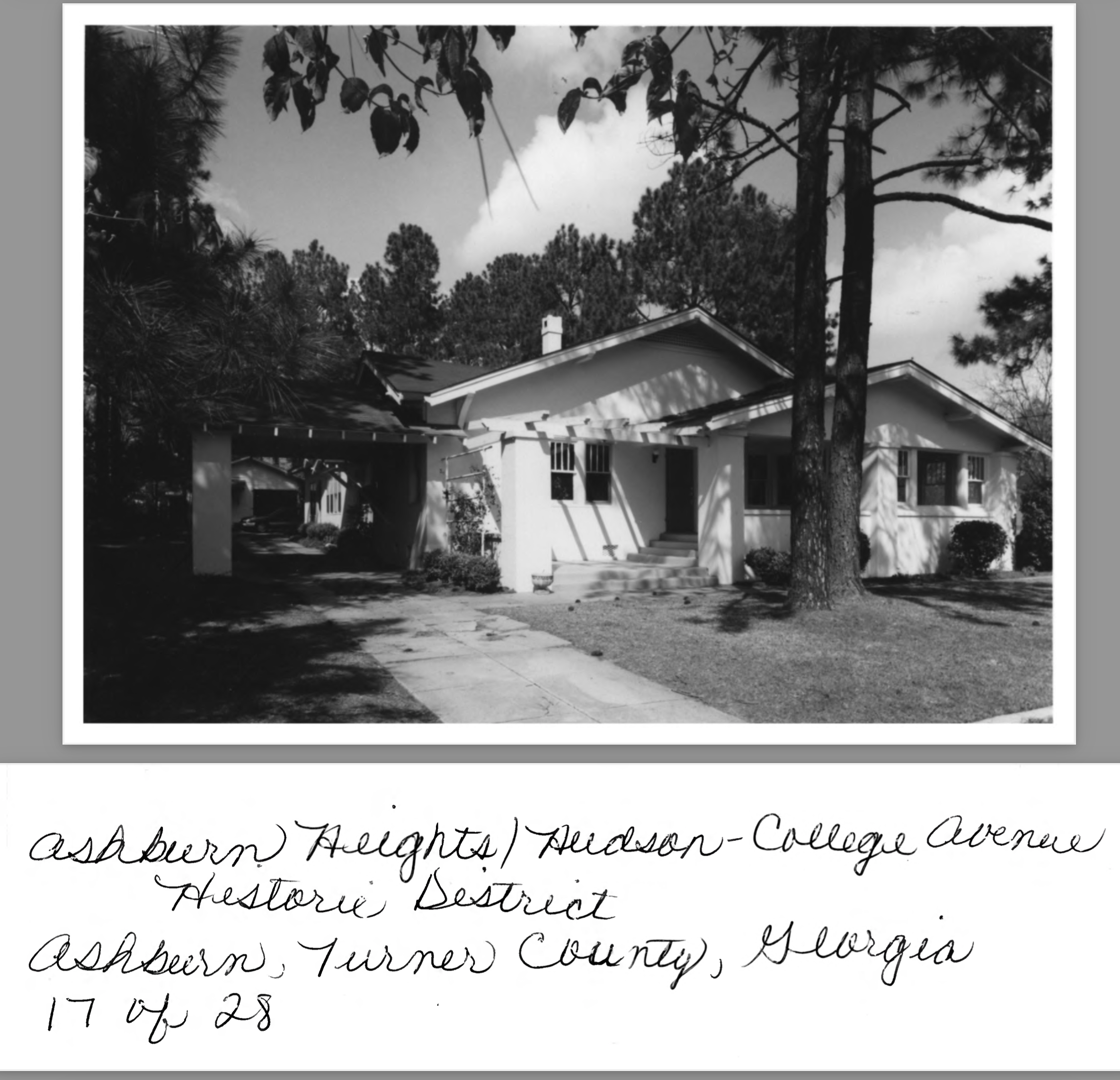
17 of 28: College Avenue at Raney Street; photographer facing north
18 of 28: North Cleveland Street at Hudson Avenue; photographer facing north.
19 of 28: Hudson Avenue at Evans Street; photographer facing northwest
20 of 28: Evans Street between James and Hudson Avenues; photographer facing northeast
21 of 28: Hudson Avenue between Monnie and Evans Streets; photographer facing northwest
22 of 28: Gilmore Street between Hudson and College Avenues; photographer facing northwest
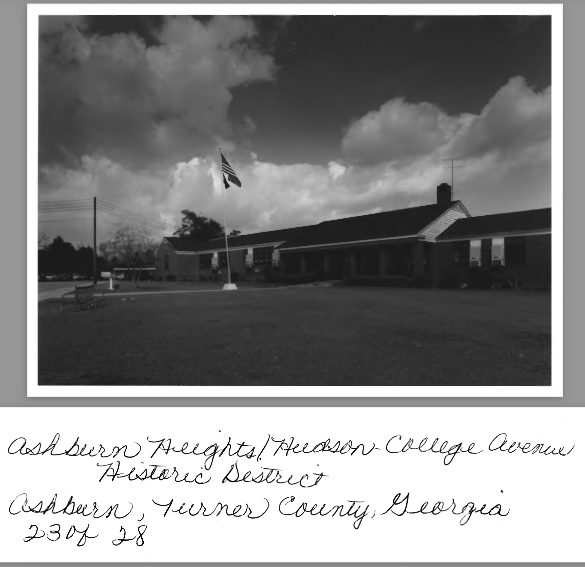
23 of 28: Historic Main building of Ashburn School, Gilmore Street; photographer facing northeast
24 of 28: College Avenue at Gilmore Street; photographer facing northwest
25 of 28: College Avenue at Gilmore Street; photographer facing east
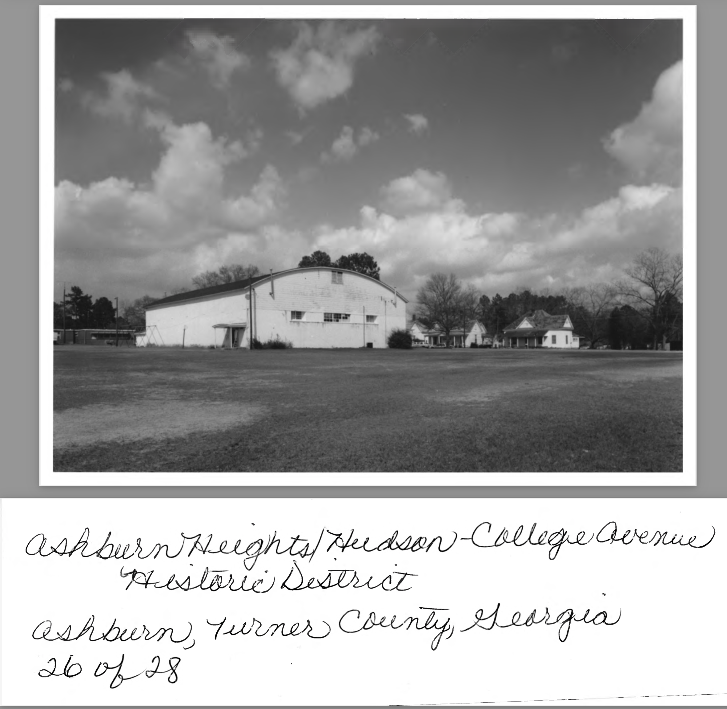
26 of 28: Nonhistoric gymnasium of Ashburn School, Gilmore Street; photographer facing northeast
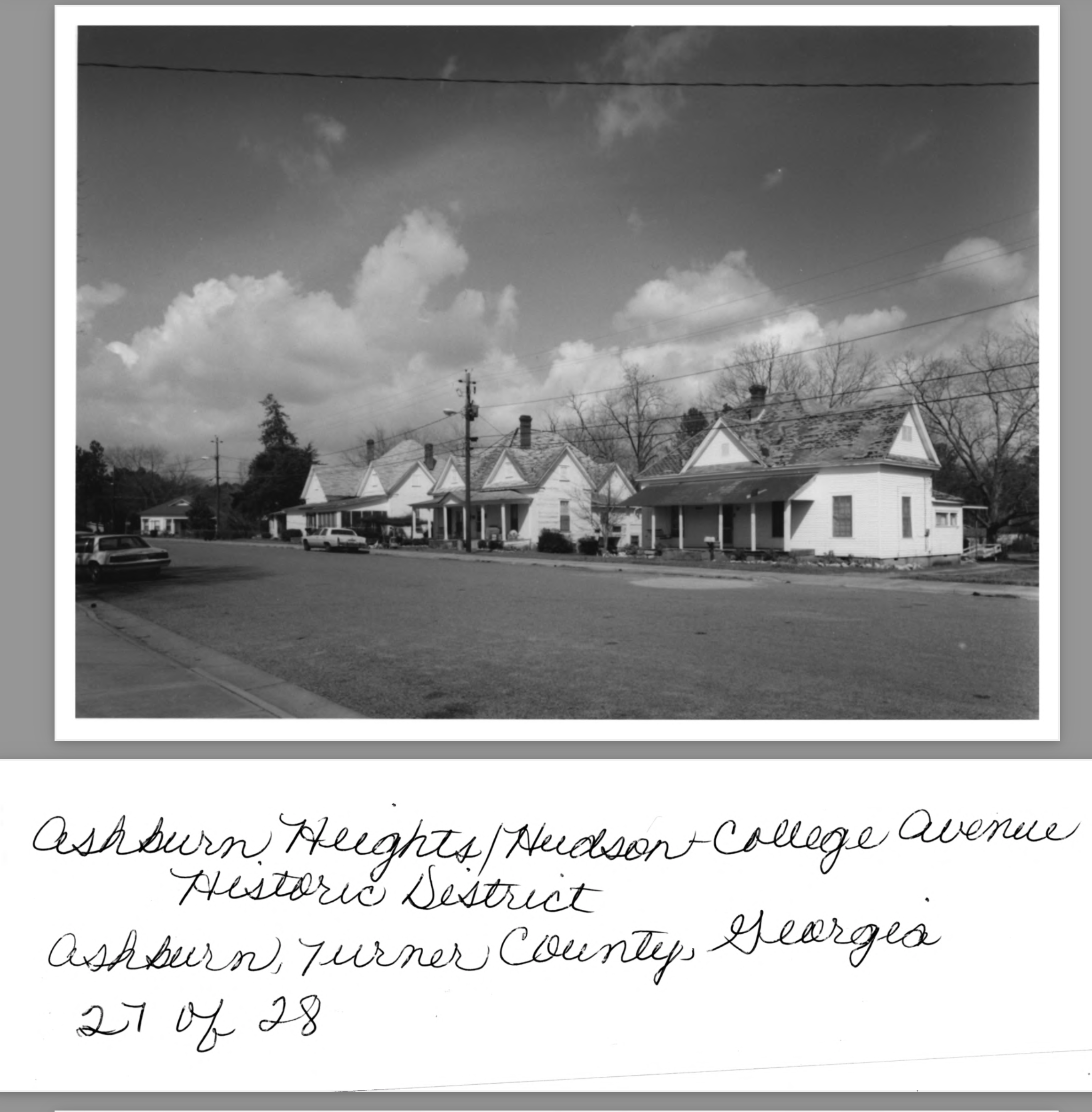
27 of 28: North Cleveland Street at College Avenue; photographer facing north
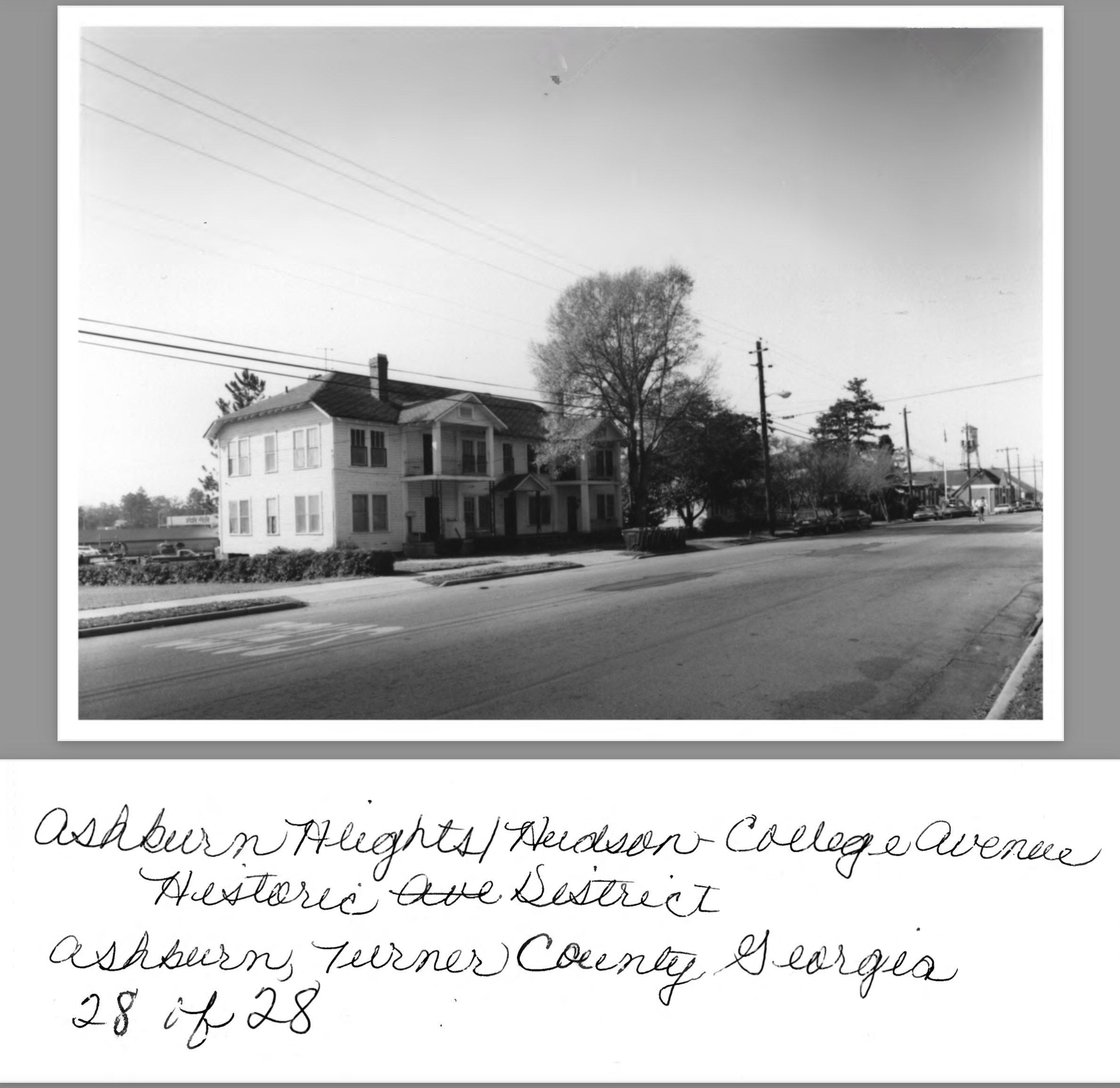
28 of 28: College Avenue at Raney Street, apartment building; photographer facing southwest
Application - 19
Photos - 28
Description of Photograph(s):
1 of 28: McLendon Street, house designed by Peter E. Dennis; photographer facing northwest
2 of 28: McLendon St. at Church Avenue; photographer facing north.
3 of 28: Mclendon St. at Hudson Avenue; photographer facing northwest
4 of 28: McLendon St. at James Avenue; photographer facing northwest
5 of 28: James Avenue between McLendon and Grand Streets; photographer facing northeast
6 of 28: Grand Street at James Ave; photographer facing northeast
7 of 28: Grand Street between Fendig and James Avenues; photographer facing northeast
8 of 28: Monnie Street at Fendig Avenue; photographer facing north
9 of 28: Monnie Street between Fendig and James Avenues; photographer facing southwest
10 of 28: Monnie Street at James Avenue; photographer facing northwest
11 of 28: Hudson Avenue at Monnie Street; photographer facing northwest.
12 of 28: Hudson Avenue at Grand Street; photographer facing northwest
13 of 28: Grand Street between James and Hudson Avenues; photographer facing northeast.
14 of 28: Raney Street at Hudson Avenue; photographer facing north
15 of 28: Raney Street between Hudson and College Avenue; photographer facing northwest
16 of 28: Raney Street at College Avenue; ; photographer facing northwest
17 of 28: College Avenue at Raney Street; photographer facing north
18 of 28: North Cleveland Street at Hudson Avenue; photographer facing north.
19 of 28: Hudson Avenue at Evans Street; photographer facing northwest
20 of 28: Evans Street between James and Hudson Avenues; photographer facing northeast
21 of 28: Hudson Avenue between Monnie and Evans Streets; photographer facing northwest
22 of 28: Gilmore Street between Hudson and College Avenues; photographer facing northwest
23 of 28: Historic Main building of Ashburn School, Gilmore Street; photographer facing northeast
24 of 28: College Avenue at Gilmore Street; photographer facing northwest
25 of 28: College Avenue at Gilmore Street; photographer facing east
26 of 28: Nonhistoric gymnasium of Ashburn School, Gilmore Street; photographer facing northeast
27 of 28: North Cleveland Street at College Avenue; photographer facing north
28 of 28: College Avenue at Raney Street, apartment building; photographer facing southwest
Creator
United States Department of the Interior - National Park Service
Source
https://npgallery.nps.gov/AssetDetail/NRIS/92001411
Date
August 13, 1992
Collection
Citation
United States Department of the Interior - National Park Service, “Ashburn Heights/Hudson-College Avenue Historic District - National Registration of Historical Places Application + Photos - #92001411,” Turner County Project Digital Archive Repository, accessed July 31, 2026, https://turnercountyproject.com/archive/items/show/239.
Social Bookmarking
Document Viewer
Click below to view a document.
Embed
Copy the code below into your web page
Comments