
Ashburn Aerial Photo
Dublin Core
Title
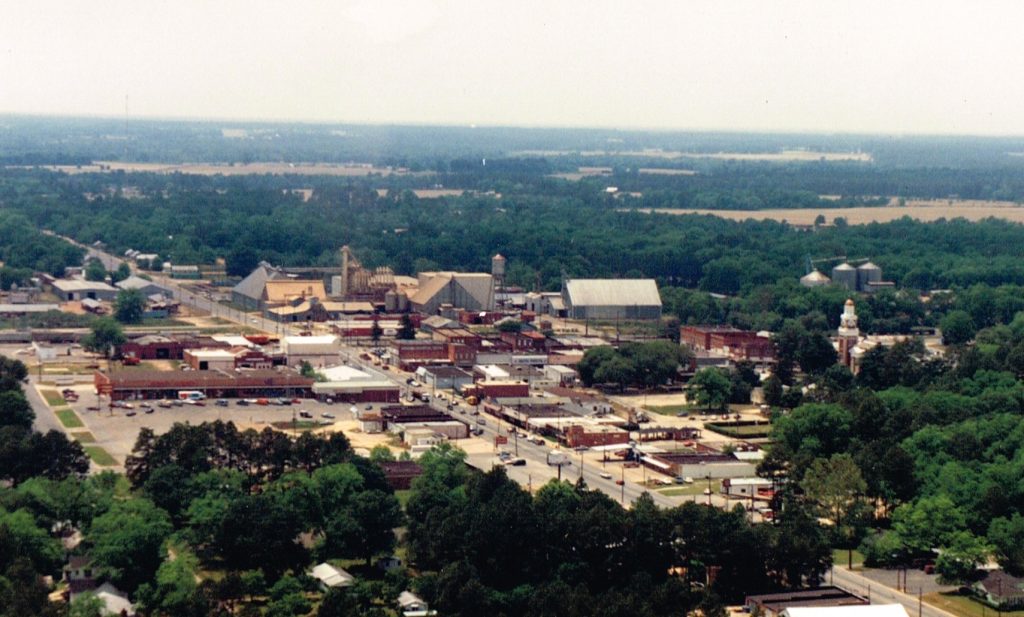
Ashburn Aerial Photo
Description
Location: West-facing following Washington Ave/Hwy 112 in Ashburn, GA.
Collection
Citation
“Ashburn Aerial Photo,” Turner County Project Digital Archive Repository, accessed July 26, 2026, https://turnercountyproject.com/archive/items/show/695.
Social Bookmarking
Embed
Copy the code below into your web page
Comments