

Sunrise Ashburn Drone Photo
Dublin Core
Title
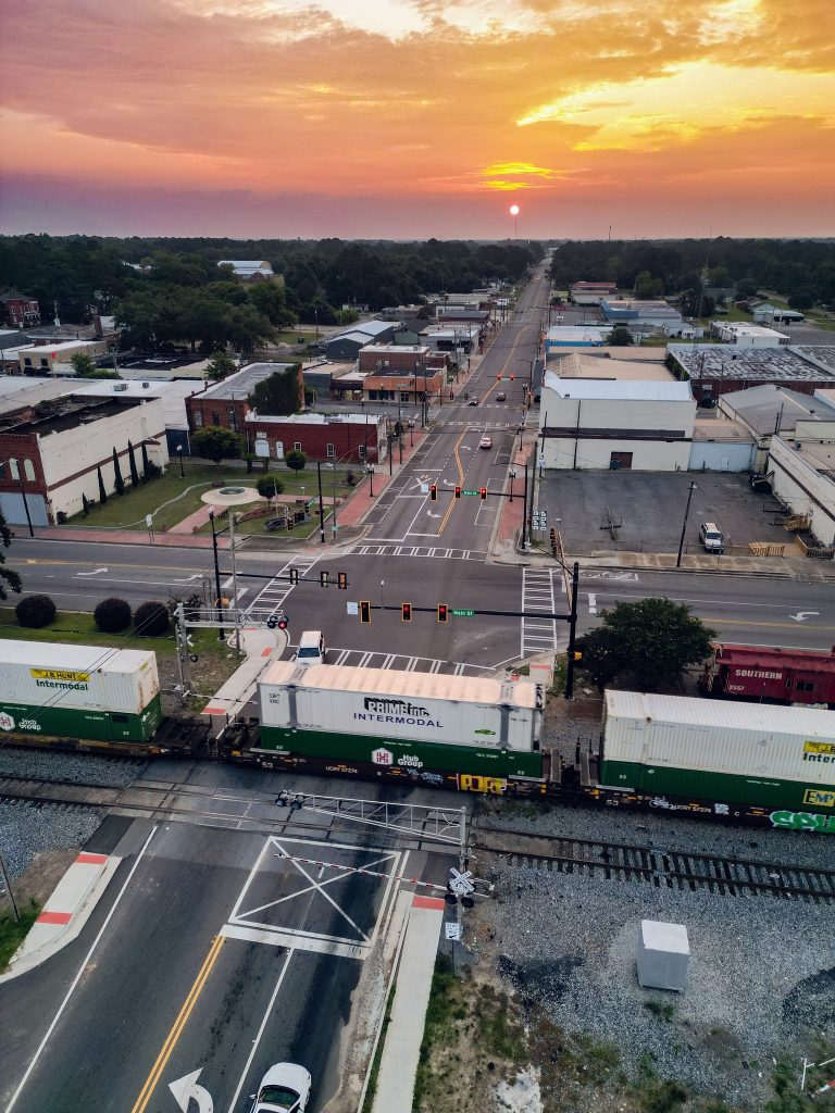
Sunrise Ashburn Drone Photo
Description
Location: Facing east at Hwy 41 and Hwy 112 crossing.
Creator
Sami Mastrario
Date
June 9, 2023
Collection
Citation
Sami Mastrario, “Sunrise Ashburn Drone Photo,” Turner County Project Digital Archive Repository, accessed August 1, 2026, https://turnercountyproject.com/archive/items/show/717.
Social Bookmarking
Embed
Copy the code below into your web page
Comments